Geoconcept GIS

By Geoconcept GIS
Geographic Information System Software
Onetime(Perpetual License)
About
.
Geoconcept GIS is a French GIS software that allows users to design and create interactive maps. The software is easy to use and collaborative, making it an ideal tool for businesses that need to make decisions based on geographical information.
Key Features
- ✓ Spatial Analysis
- ✓ Map Sharing
- ✓ Map Creation
- ✓ Labeling
- ✓ Image Management
- ✓ Image Exporting
- ✓ Geocoding
- ✓ Color Coding
- ✓ Census Data Integration
- ✓ 3D Imagery
- ✓ Interoperability
- ✓ Internet Mapping
Screenshots
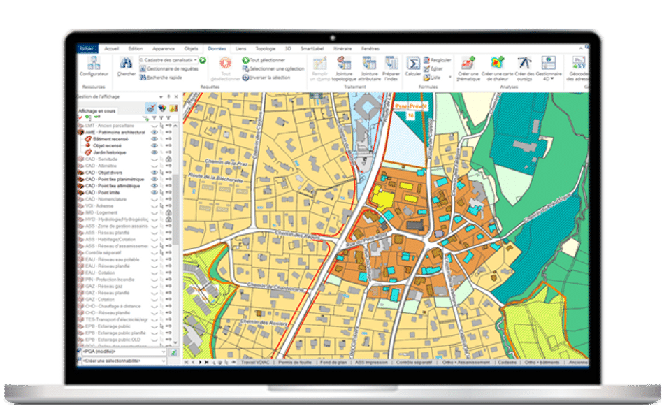
Screenshot 1
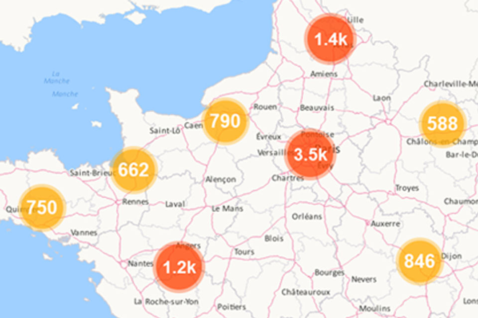
Screenshot 2
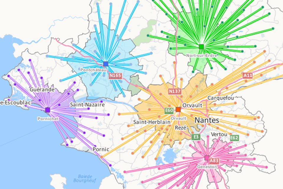
Screenshot 3
Pricing
Geoconcept GIS
USD0
- Data Management
- Graphic
- Geocoding
- Interpretation
- Analysis
- Optimization
- Collaboartion
- Publication
- Mobility
- Data Management
- Graphic
- Geocoding
- Interpretation
- Analysis
- Optimization
- Collaboartion
- Publication
- Mobility
User Reviews
+ Write a Review
No reviews yet. Be the first to review!
Frequently Asked Questions
How much does Geoconcept GIS cost?
▼
Geoconcept GIS offers 1 pricing plan(s):
- Geoconcept GIS — USD0.00
What is Geoconcept GIS used for?
▼
Geoconcept GIS is a Geographic Information System Software solution. Top features include:
- Spatial Analysis
- Map Sharing
- Map Creation
- Labeling
- Image Management
Does Geoconcept GIS offer a free trial?
▼
Geoconcept GIS does not currently offer a free trial.
What support does Geoconcept GIS provide?
▼
Geoconcept GIS provides Online (Ticket) support.
Is Geoconcept GIS cloud-based or on-premise?
▼
Geoconcept GIS is Cloud Hosted software.
What training resources does Geoconcept GIS offer?
▼
Geoconcept GIS provides Help Guides,Blogs for training.